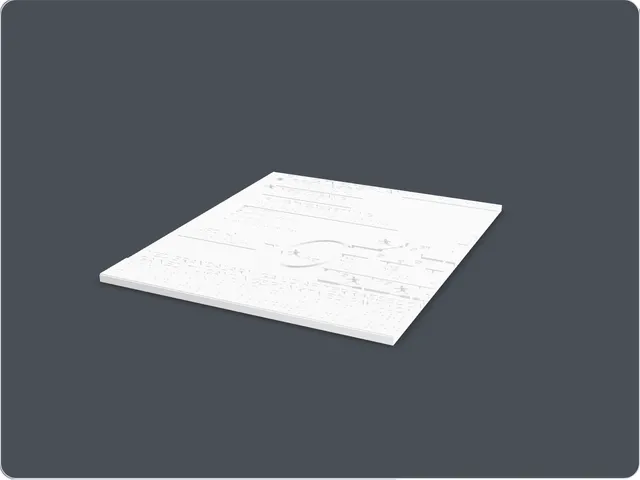
Each panel is about 210 x 250 x 6 mm. I would print the panels in PLA with a clean top surface and enough detail quality for the engraved symbols and labels.
Price
Free
Files
emergency-plan.zip (2 MB)
See this model in 3D
The interactive 3D preview is optional. I include the written description and details on this page, so you do not need the preview to understand the model. It only loads when you activate it.
The 3D preview is optional. Activate the button to load it. Once it appears, use the left and right arrow keys to rotate, the up and down arrow keys to tilt, and the plus and minus keys to zoom. A Top-down view button looks straight down at the model, laying flat pieces like boards, cards and maps out as if on a table. A Reset view button returns the camera to its starting position. A full text description and download are provided below and do not require this preview.
About this model
I made this as an early tactile evacuation-plan experiment. The idea is simple: important route information should not only be visual. Engraved lines, symbols and labels make the plan possible to read by touch.
This free plan is a sample of my work. I also make custom tactile emergency plans for your own building: Tactile emergency plan.
What it looks like
The download contains two flat panels. Each panel is a thin rectangular plate with engraved map details, route lines, symbols and text areas. The details are engraved below the surface, so they can be followed with a fingertip as shallow grooves.